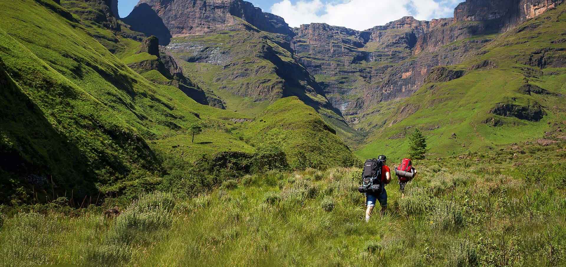
Pretoria hikers have many opportunities for weekend-long hiking experiences as most hiking trails have great accommodation nearby.
Go and try out some new trails with views of the Magaliesberg mountains or the Hartebeespoort dam and make a trip of it or go an experience a path closer to home for an early morning wake up call to get your blood pumping.
Don't forget to check what's happening in Pretoria today
Hennops Hiking & Mtb Trail
Hennops is an excellent opportunity for new hiker or hikers wanting to introduce their children to the outdoor activity. Only 30 km from Pretoria, Hennops is a trail that you can visit every weekend.
With three trails ranging from 2.5 km all the way to 10km, there is an opportunity for everyone and every fitness level.
There is no shortage of entertainment and excitement on this trail, with the paths winding along the Hennops river, there are two fun ways of getting across. Hennops' famous suspension bridge, although remarkable, is not as favoured as the small manual cable car that takes hikers over the river.
There are also hidden caves along the trail that show the ancient people that lived on the land. From more recent history, Hennops was also the site of a field hospital during the Anglo Boer war.
And while the trail is mainly a plateau, it is also home to 9 large mammal species for hikers to look out for.
- Location:
- 45min from Pretoria
- Off R511 near Hennops Pride Resort
- Distance:
- Dassie Trail - 2.5 km (Easy, great for children)
- Zebra Trail - 5 km (Easy to Intermediate)
- Krokodolberg Trail - 10 km (Intermediate/Difficult)
- Elevation:
- Dassie Trail - 70m Elevation
- Zebra Trail - 110m Elevation
- Krokodolberg Trail - 400m Elevation
- Estimated Time:
- Dassie Trail - 1-2 hours
- Zebra Trail - 4 hours
- Krokodolberg Trail - 4-5 hours
- General Contact:
- 082 825 9205
- SANParks Emergency Number:
- +27 (0)21 957 4700
- Map:
Ezemvelo Nature Reserve
Ezemvelo is a great place to get away from the bustling city and enjoy nature.
Hikes are always encouraged here as you can experience more than you would while on a game drive.
Spotty cell service can create a relaxing time off from technology for the family.
The trail supports all fitness levels with three trails ranging from 4 km to 21 km. The reserve recommends that you take the following with you:
- Comfortable shoes, water, binoculars
- Summer: Sunscreen, hat
- Winter: Rain jacket or poncho
- Location:
- Off R25 near Bronkhorspruit
- Distance:
- Ochna Trail - 4 km (Easy)
- Protea Trail - 14.6 km (Easy but step at times)
- Burkea Trail - 21km (Difficult)
- Terrain:
- Ochna Trail - Grasslands and Koppies
- Protea Trail - Grasslands, Koppies, Rocky paths and Burnt grasslands
- Burkea Trail - Grasslands, Koppies and Rocky outcrops
- Estimated Time:
- Ochna Trail - 1 - 1.3 Hours
- Protea Trail - 3 - 4 hours
- Burkea Trail - 4 - 5 hours
- General Contact:
- 013 680 1399
- 083 440 5886
- SANParks Emergency Number:
- +27 (0)21 957 4700
- Map:
Hedianga Farm Trail
Hedianga provides unique challenges for hikers but offers a variety of ecological zones to experience as a reward.
The site offers three trails from 5 to 15 km. The longest of the three (called the red trail) is difficult for beginner hikers, but the last 5 km can be challenging for anyone with lots of ups and downs.
The trails all go through lush grasslands and quartzite ridges and are marked with wooden signs and painted stones.
There is a fee for adults (R35) and children (R15) over 12, but tickets last seven days, which makes it worth it to come back soon.
Dogs (on a leash) and horses are also welcome.
- Location:
- Between Garsfontein and Graham Road
- Achilles Rd & Ajax Rd, Olympus
- Distance:
- 3 Trails available
- 15 km (Red Trail) (Intermediate/Difficult)
- 10 km
- 5 km
- 3 Trails available
- Elevation:
- Red trail : 5% average grade
- Terrain:
- Grasslands and Quartzite Ridges
- Estimated Time:
- Roughly 1 - 3 hours
- General Contact:
- 082 552 0955
- SANParks Emergency Number:
- +27 (0)21 957 4700
- Map:
Zwartkop Rondo
While hiking and mountain biking is allowed and encouraged on the nature reserve, there are no marked paths.
Hikers and mountain bikers, therefore, prefer to take the route around the outside of the sanctuary and have repurposed it as a trail.
The space between the road and the nature reserve’s fence has become a favourite trail for hikers because of the accessibility.
The land is considered public space and is, therefore, open 24/7, perfect for hikers wanting to get an early start.
The views, as well as the variety of fauna and flora, can still be seen from this trail, which creates a pleasant atmosphere for hikers on their route.
You will, however, have to cross the road at two points on the path. Experience a virtual tour of this trail here.
- Location:
- Zwartkop Nature Reserve
- Wierda Rd, Zwartkop
- Distance:
- 14 km (Easy/Intermediate)
- Elevation:
- 2 % Average Grade
- Estimated Time:
- Under 4 hours
- General Contact:
- 012 666 7130
- SANParks Emergency Number:
- +27 (0)21 957 4700
- Map:
Bergheim Holiday Resort Trail - Magaliesberg reserve
This trail is a there and back trail, similar to a loop trail. Because it starts and ends at the Bergheim Holiday Resort, hikers can enjoy a refreshing swim after the hike, or make use of the picnic and braai facilities.
Because there are not many directional markers, try to follow the stream until you see one of the paths that ascend the mountain.
This ascension can be steep but the left route is probably the steepest, so it is best to avoid it.
Once you’ve made your way up the mountain, the terrain levels out again and provides marvellous picnic spot, with breathtaking views of the Hartbeespoort dam and some hikers reporting small pools of fresh water.
- Location:
- Rex Road, Modderfontein
- Distance:
- 9 km
- Elevation:
- 450m elevation gain
- Check out more statistics on this trail here.
- Estimated Time:
- 4 - 5 hours
- General Contact:
- 086 152 2262
- SANParks Emergency Number:
- +27 (0)21 957 4700
- Map:
Uitkyk trail - Magaliesberg reserve
While the Uitkyk trail does require some planning, it can become a great hiking experience for seasoned hikers.
Booking is advised, as only 25 hikers are permitted on the reserve on weekends to preserve the tranquillity and outdoor adventure.
Hikers are also encouraged to travel in groups of 6 while taking the trail. The trail begins at the nature reserve’s parking lot and goes through the protected environmental land.
During some parts of the trail, the path can get rugged and travels along a cliff, so this route is not recommended for those afraid of heights. The trail also goes across the R560 highway.
Do not attempt to cross this road, instead, make use of the tunnel which runs underneath the highway.
Enjoy the beautiful view of the Hartbeespoort dam but be aware that the ascension and dissension can be steep.
Tip: bring 2 litres of water per person hiking for the trail
- Location:
- Hartbeespoort, Pretoria
- Near Bergheim Hiking Route
- Distance:
- 9 km
- Elevation:
- 450m elevation gain
- Check out more statistics on this trail here.
- Estimated Time:
- 4 - 5 hours
- General Contact:
- 086 152 2262
- SANParks Emergency Number:
- +27 (0)21 957 4700
- Map:
Get active this summer and explore the variety of hiking trails in your area. New hikers should start with a steady 5 km route and remember to have all the correct equipment with them. More experienced hikers should try to challenge themselves by combining different trails to extend their favourite walks.
Our vision at Vibescout is to provide the most relevant, current and comprehensive information.
If you feel we've missed something amazing or have any suggestions regarding our system, we would love to hear from you! Contact: info (at) vibescout.com